
Apex Wx
Fort Kent & the Saint John Valley, Maine
Weather Information


Weather information for the Saint John Valley since 2009

Contributions support equipment and software maintenance.
Apex Wx is a private weather information service focusing on northern Maine's weather.
Click "AirNow" for more information.
NWS
Caribou Watches, Warnings, and Advisories

Click map for more information
NE Weather Chart

From "Z" time (upper left corner) subtract 4 hours summer / 5 hours winter for ET.
Example: 1800Z minus 4 hours in EDT = 1400 ET / 2 pm ET

Saturday, April 27
Source: Davis Instruments Vantage Pro 2 Personal Weather Station / Rain gauge not heated in winter.
Norm. Low: 31° / Record Low: 14° in 1947
Year-to-Date Precipitation: 9.93 in / avg. 10.81 in = -0.88 in
Year-to-Date Snowfall: 75.6 in / avg. 99.1 in = -23.41 in
Source: NOAA SC-ACIS NWS Caribou climate data collected since 1893
Fort Kent, ME, USA — Sun and Moon Times
Current NWS Caribou Hazardous Weather Outlook
Click for the latest information.
Tonight: Mostly cloudy with a 50% chance of showers. Rainfall totals less than 1/10-inch. Low near 38. Northwest wind 8-14 mph gusting to around 26 mph.
Monday: Partly sunny early then mostly sunny with a high around 52. North wind 11-17 mph with gusts to 29 mph possible.
Monday night: Mostly clear with a low near 31. North wind 5-10 mph.
Tuesday: Partly cloudy to mostly sunny with a high around 56. North wind 9-11 mph with gusts to 21 mph possible.
Tuesday night: Partly cloudy with a 10% chance of showers. Low near 33. Northeast wind 0-7 mph.
------------------------------------
4-7 Day Outlook: Wed. May 1 - Sat. May 4
Apex Wx Daily Summary
Wednesday: Partly sunny with a 10% chance of showers. High around 58. Northeast wind 0-7 mph.
Wednesday night: Partly cloudy with a 10% chance of showers. Low near 38. East wind 0-7 mph.
Thursday: Partly sunny with a 30% chance of afternoon showers. High around 64. Southeast wind 0-7 mph.
Thursday night: Partly cloudy with a 40% chance of showers. Low near 43. Northeast wind 0-7 mph.
Friday: Partly sunny to mostly cloudy with a 40% chance of showers. High around 61. East wind 0-7 mph.
Friday night: Mostly cloudy with a 40% chance of showers. Low near 42. East wind 0-7 mph.
Saturday: Partly sunny with a 30% chance for showers. High around 60. Southeast wind 0-7 mph.
Saturday night: Mostly cloudy with a 40%
chance for showers. Low near 41. Southeast wind 8-14 mph.
Near normal temperatures / Near normal precipitation
March 2024
National Climate Report
Issued around the 10th of each month for the preceding
month
Weather information compiled by Apex Wx is based on computer weather models, personal weather station data, and information from NOAA, the National Weather Service, and other weather data providers available at time of update and may not reflect current conditions or later forecast updates. Visit NWS Caribou for the latest official watches, warnings, and advisories for northern Maine.
------------------------------------------------------------------------------------------------------------
NWS Caribou Daily Forecast
Summary
Updated 24/7 (see timestamp for
latest update)
------------------------------------------------------------------------------------------------------------
Apr. 28:Severe Weather and Excessive Rain from the Southern Plains into the Mississippi Valley
Severe thunderstorms may produce tornadoes, some strong, damaging wind gusts above 70 mph, and very large hail exceeding 2 inches in diameter, and intense rainfall that may cause flash flooding tonight across much of the southern Plains and lower Missouri Valley. The severe thunderstorms and excessive rainfall will expand from east Texas into the Mississippi Valley on Sunday.

- Short Range National Forecast Discussion (Day ½ - 2½)
- Medium Range National Forecast Discussion (Day 3 - 7)
- National High and Low Temperature (excluding Alaska & Hawaii)
NOAA/NWS Storm
Prediction Center
Clusters of severe storms are possible through early tonight, with the most concentrated threat for wind damage, large hail and a few tornadoes from the ArkLaTex southward into east Texas.


Longer-Range Outlooks
Apex Wx is a private weather information service unaffiliated with NOAA/NWS.
Always consult NWS Caribou for the latest official weather updates and information for northern Maine.
NOAA Warning Banner provided by WillyWeather.com.
Apex Wx logo by Joanna Becker ©2016 (Visit Bushi and Brush Arts Dojo)

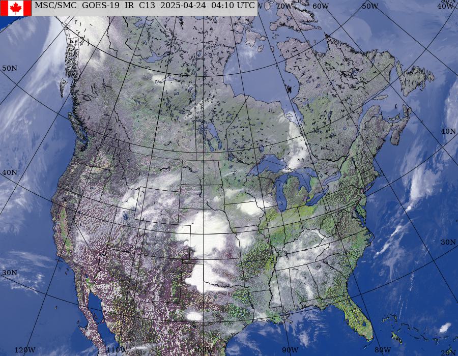
US Composite Satellite


Excessive Rainfall Outlook


Regional Satellite

Saint John River at Fort Kent

Fish River at Fort Kent


Aurora Outlook


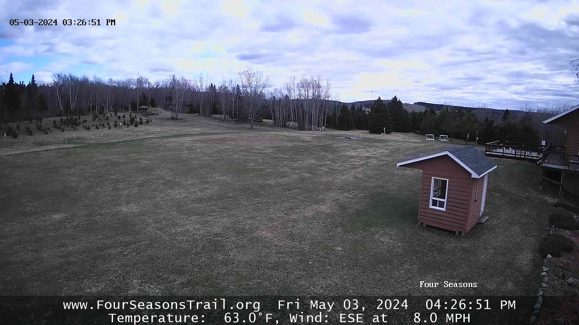
Four Seasons Trail, Madawaska, ME

Menu
Official
Government Forecasts
Regional Climate Data
Recreation Forecast for Northern & Eastern Maine
Regional Resources
Extreme World Weather


