National Forecast Charts
Graphics update automatically -- check image timestamps for most recent updates/valid periods.
Main Page
48-Hour
Days 3-7
48-96hr Ocean
7-Day Temperatures
7-Day Precipitation
Severe Weather
7-Day Snowfall
Climate Outlooks
Hazards Outlooks
Upper Air Charts
Upper Air Soundings
Eastern Time 12-Hour
Eastern Time 24-Hour
UTC / Z / Greenwich
--
--
--
WPC/NDFD Surface Forecast 12hr
WPC/NDFD Surface Forecast 24hr
Top of Page
WPC/NDFD Surface Forecast 36hr
WPC/NDFD Surface Forecast 48hr
Top of Page
NOAA 500MB Map Forecast Day 3
NOAA Surface Map Forecast Day 3
Top of Page
NOAA 500MB Map Forecast Day 4
NOAA Surface Map Forecast Day 4
Top of Page
NOAA 500MB Map Forecast Day 5
NOAA Surface Map Forecast Day 5
Top of Page
NOAA 500MB Map Forecast Day 6
NOAA Surface Map Forecast Day 6
Top of Page
NOAA 500MB Map Forecast Day 7
NOAA Surface Map Forecast Day 7
Top of Page
OPC 48HR Forecast Pacific
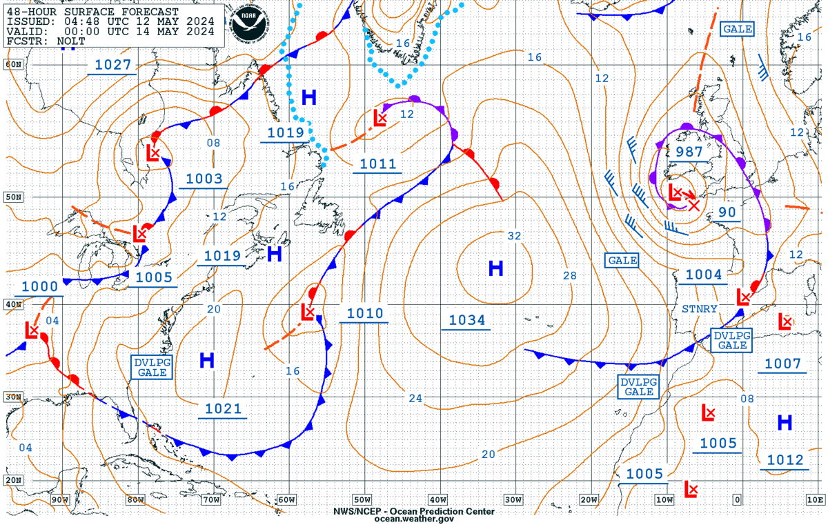
OPC 48HR Forecast Atlantic
Top of Page
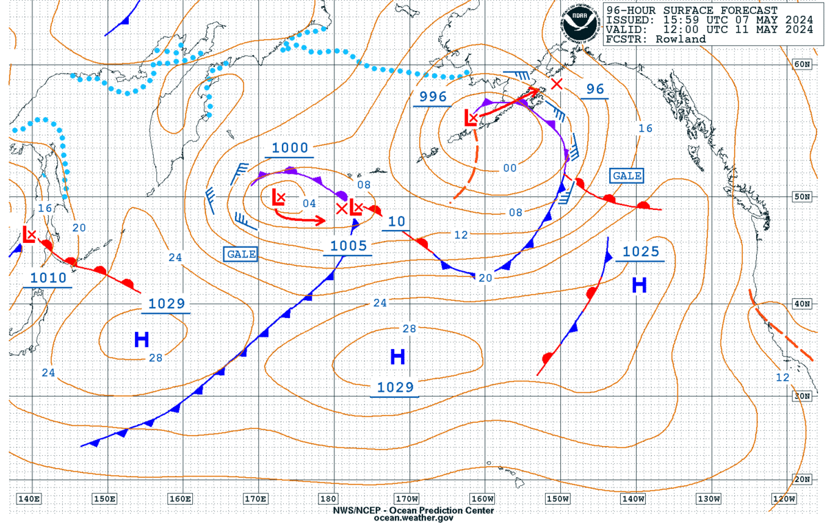
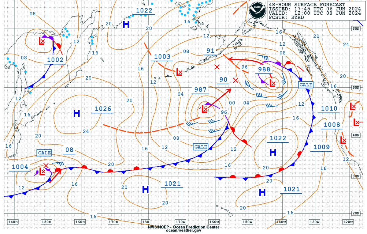
OPC 96HR Forecast Pacific
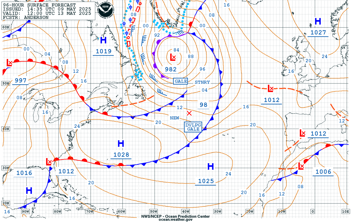
OPC 96HR Forecast Atlantic
Top of Page
Depending on time of day and product release, these high/low images may misalign at times
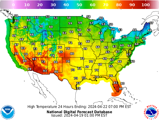
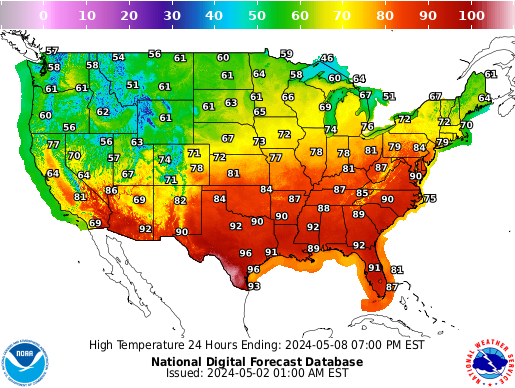
NWS Forecast High Temperatures Day 1
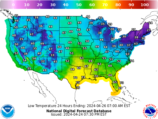
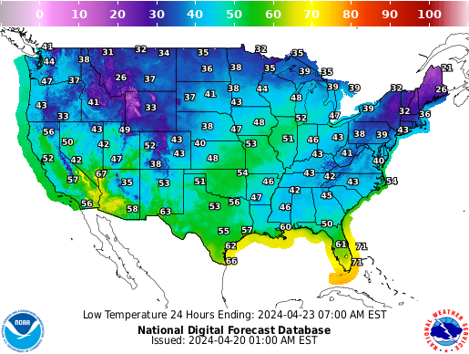
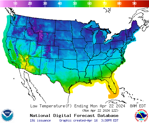
NWS Forecast Low Temperatures Day 1
Top of Page
NWS Forecast High Temperatures Day 2
NWS Forecast Low Temperatures Day 2
Top of Page
NWS Forecast High Temperatures Day 3
NWS Forecast Low Temperatures Day 3
Top of Page
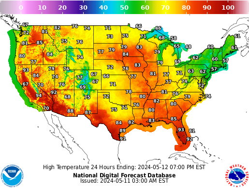
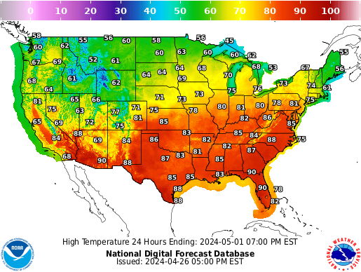
NWS Forecast High Temperatures Day 4
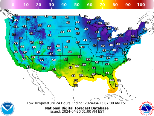
NWS Forecast Low Temperatures Day 4
Top of Page
NWS Forecast High Temperatures Day 5
NWS Forecast Low Temperatures Day 5
Top of Page
NWS Forecast High Temperatures Day 6
NWS Forecast Low Temperatures Day 6
Top of Page
NWS Forecast High Temperatures Day 7
NWS Forecast Low Temperatures Day 7
Top of Page
NOAA Precipitation Forecast Day 1
NOAA Precipitation Forecast Day 2
Top of Page
NOAA Precipitation Forecast Day 3
NOAA Precipitation Forecast Day 4 & 5
Top of Page
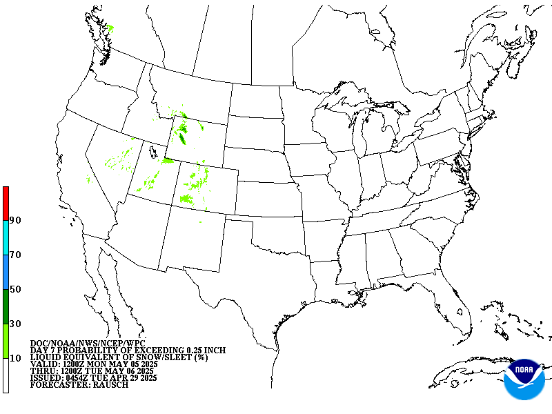
NOAA Precipitation Forecast Day 6 & 7
NOAA Precipitation Forecast Days 1 - 7 Total
Top of Page
WPC Excessive Rainfall Outlook Day 1
WPC Excessive Rainfall Outlook Day 2
Top of Page
SPC Severe Thunderstorm Outlook Day 1
SPC Severe Thunderstorm Outlook Day 2
Top of Page
SPC Severe Thunderstorm Outlook Day 3
SPC Severe Thunderstorm Outlook Day 4
Top of Page
SPC Severe Thunderstorm Outlook Day 5
SPC Severe Thunderstorm Outlook Day 6
Top of Page
SPC Severe Thunderstorm Outlook Day 7
SPC Severe Thunderstorm Outlook Day 8
Top of Page
NOAA Winter Outlook Day 1 Snow > 4"
NOAA Winter Outlook Day 1 Ice > 0.25"
Top of Page
NOAA Winter Outlook Day 2 Snow > 4"
NOAA Winter Outlook Day 3 Snow > 4"
Top of Page
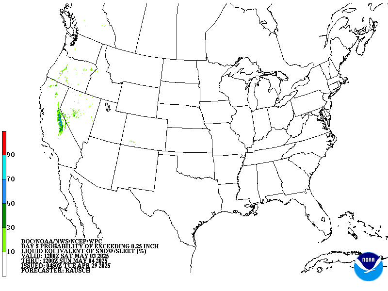
NOAA Winter Outlook Day 4 Snow
NOAA Winter Outlook Day 5 Snow
Top of Page
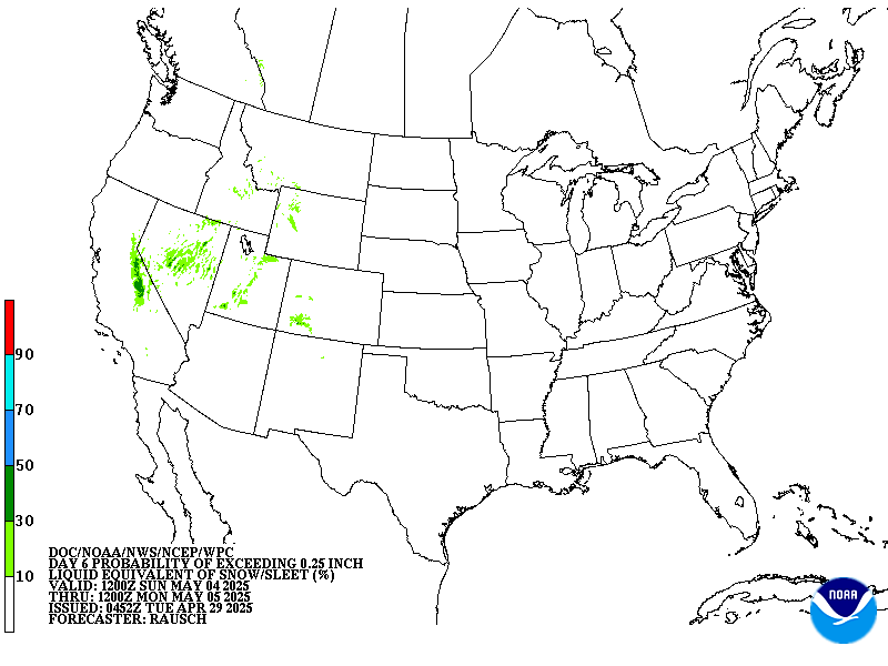
NOAA Winter Outlook Day 6 Snow
NOAA Winter Outlook Day 7 Snow
Top of Page
CPC Day 6-10 Temperature Trends
CPC Day 8-14 Temperature Trends
Top of Page
CPC Day 6-10 Precipitation Trends
CPC Day 8-14 Precipitation Trends
Top of Page
CPC Temperature Trends Next 3-Months
CPC Precipitation Trends Next 3-Months
Top of Page
WPC 3-7 Day Hazards Outlook
Weeks 2-3 Global Tropics Hazards Outlook (GTH)
Top of Page
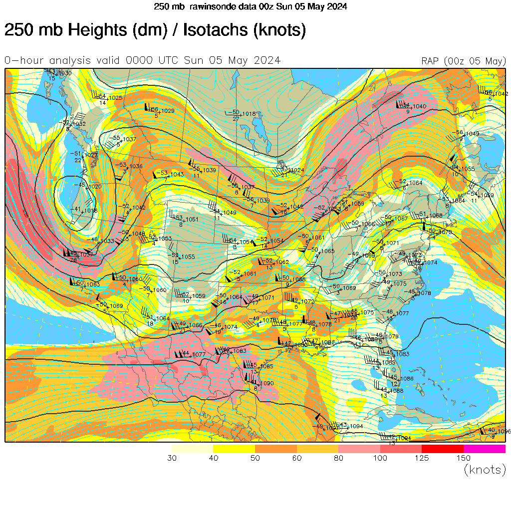
250-mb Chart
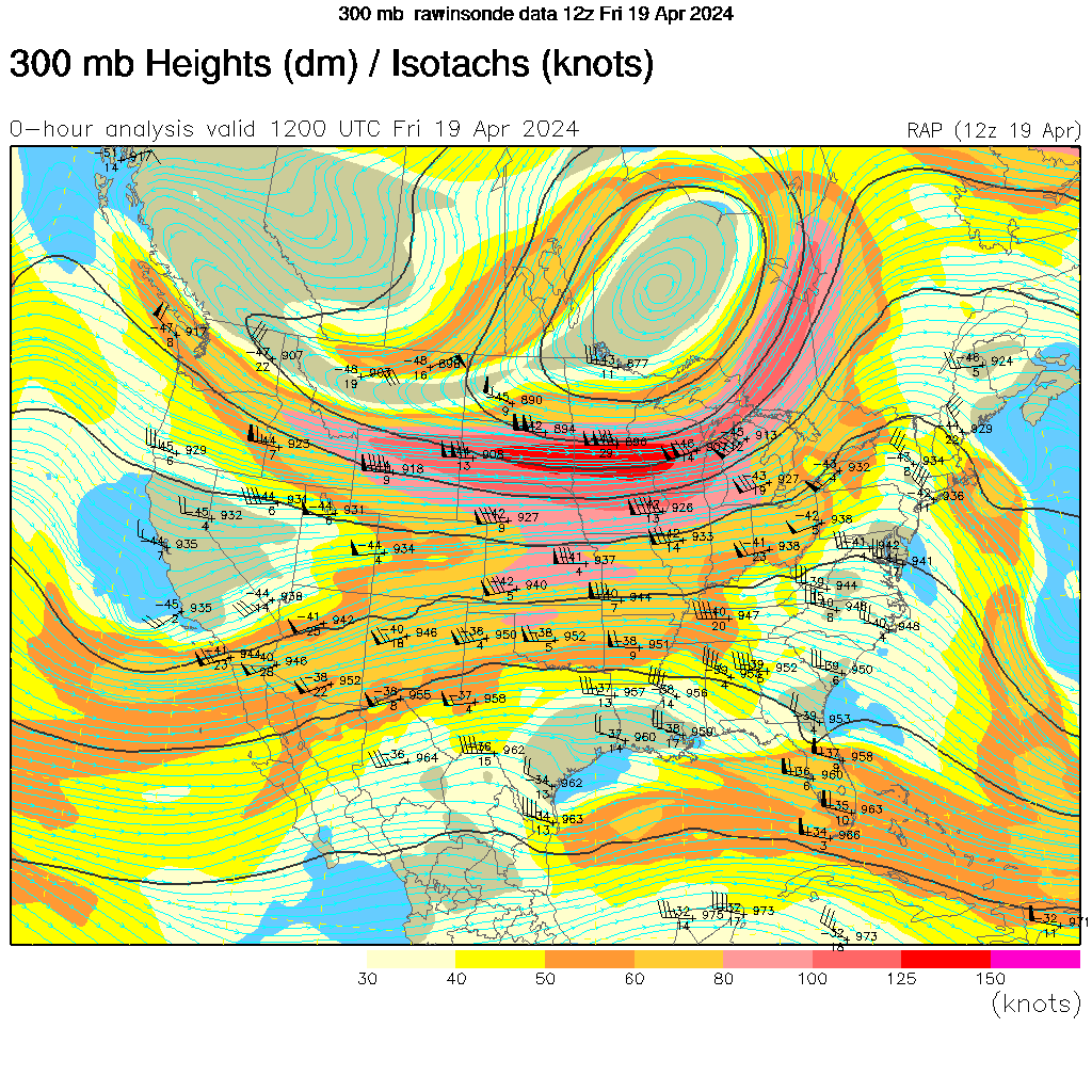
300-mb Chart
Top of Page
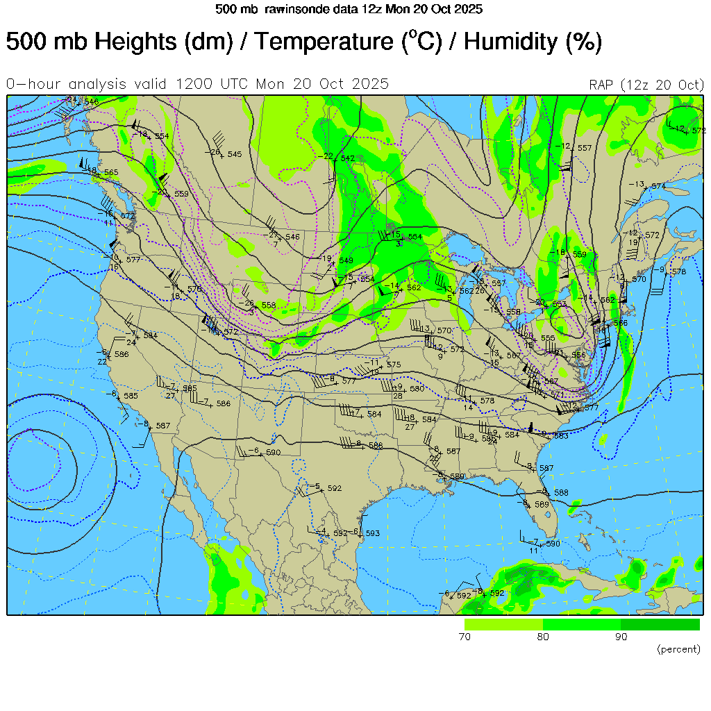
500-mb Chart
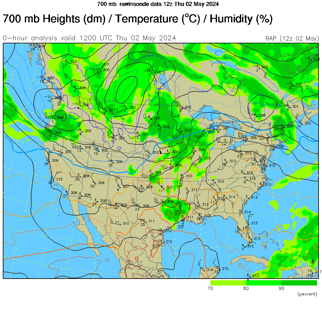
700-mb Chart
Top of Page
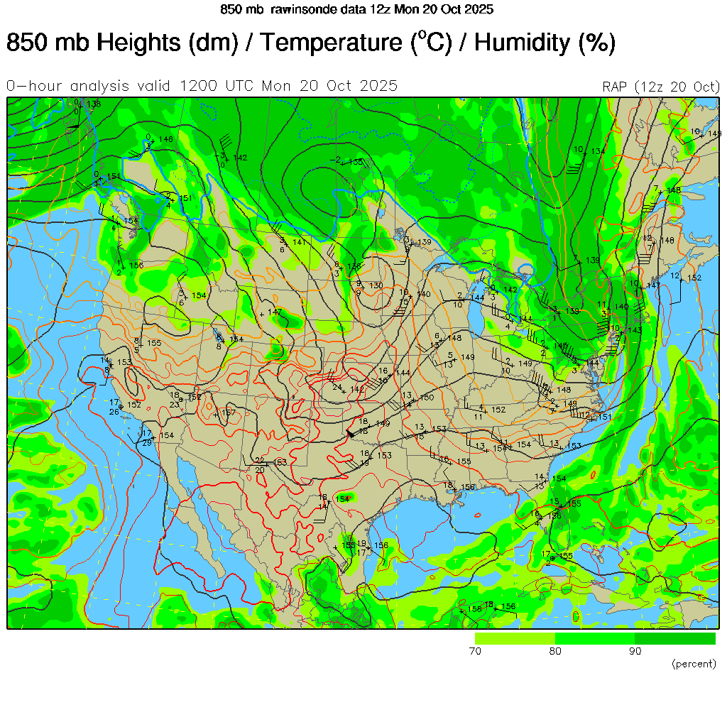
850-mb Chart
925-mb Chart
Top of Page
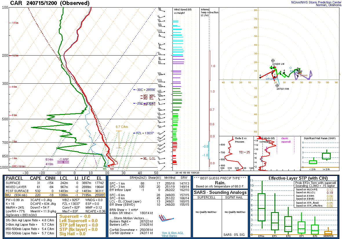
NWS Caribou, ME (KCAR) Atmospheric Sounding
NWS Gray, ME (KGYX) Atmospheric Sounding
Visit the following NOAA / NWS agencies for more information, services, and products:
Weather Prediction Center
Storm Prediction Center
Climate Prediction Center
National Hurricane Center
Ocean Prediction Cente
r
How to interpret Skew-T
(atmospheric sounding) diagrams
Top of Page